First Summer Hike Was Beautiful and Informative!
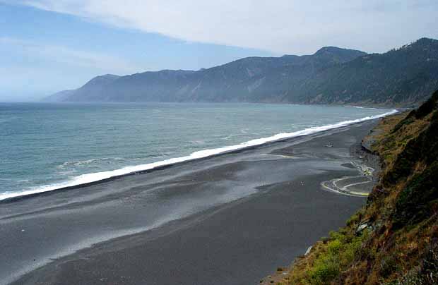 The first 2013 Summer Hike, jointly hosted by BLM’s King Range National Conservation Area and the Friends of the Lost Coast, provided attendees a gorgeous setting for learning about native plants and geology of the Black Sands Beach coastal cliffs.
Did you know that there are over 40 different plants viewable within a half mile when strolling up the beach?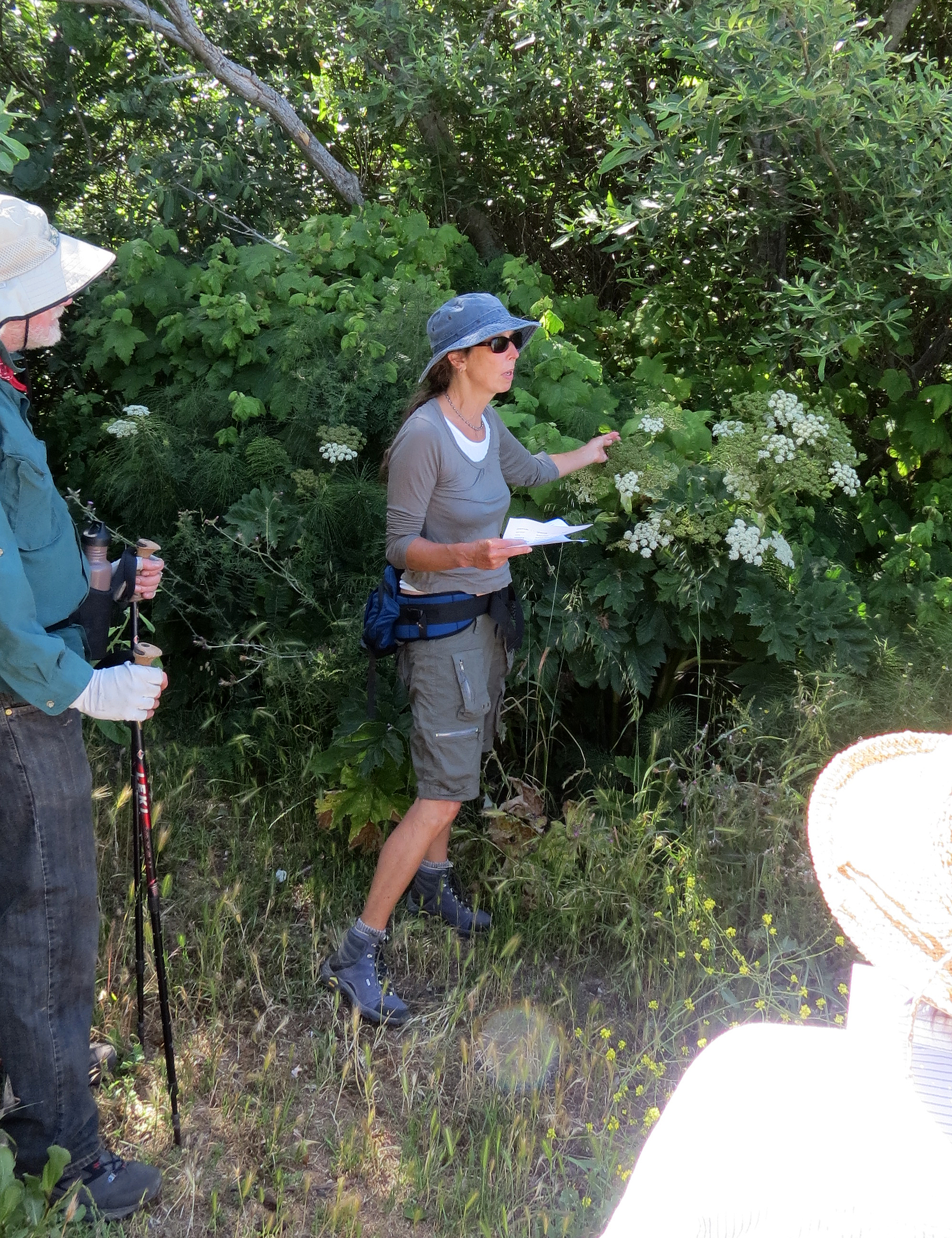 Many of these plants are native; however, many have been introduced and some are invasive. We were afforded the opportunity to experience this walk with Cheryl Lisin, a qualified horticulturist who shared with us her extensive knowledge and experience.
Sam Flanagan, BLM geologist, discussed many interesting points concerning geological formations, rocks and minerals. The King Range lies immediately southeast of one of the most geologically active areas in North America. Three large tectonic plates converge just offshore at a geologic feature known as the 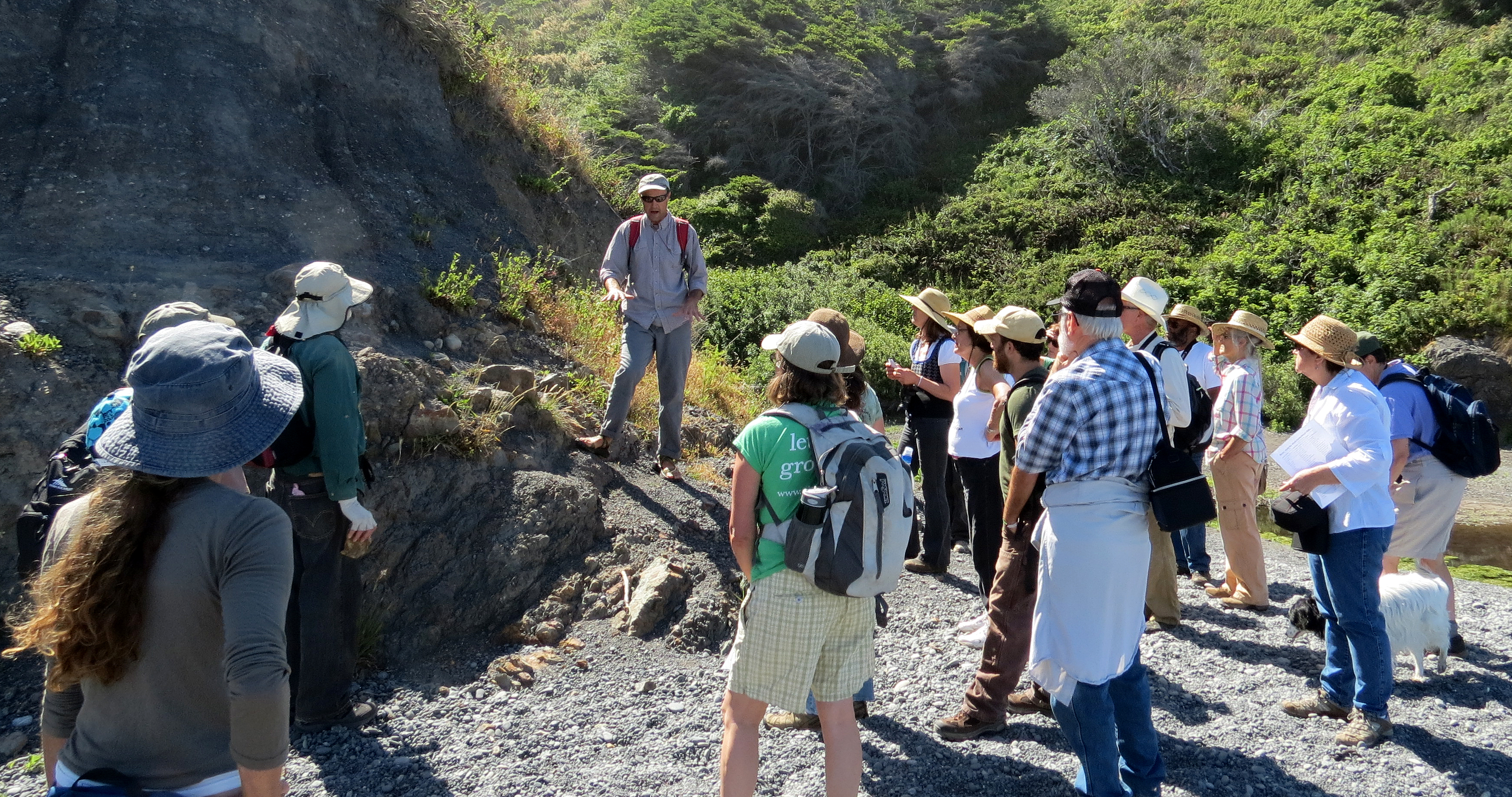 Mendocino Triple Junction. At this location three pieces of the earth’s crust, or tectonic plates, are moving past and beneath each other in different directions. To the south and along the western edge of the King Range, the San Andreas Fault forms the boundary between the Pacific and North American Plates.
Watch a video of Sam providing some interesting geological info!
A great start to the 2013 Summer Hike series! Thanks everyone for joining!]]>